
Walk Clinton Township Streets by Parcel
A street-by-street search in Clinton Township is strongest when it begins with one known address. The Franklin County Auditor Property Search ties an address to a parcel, legal description, owner names, and transfer clues. That is an ownership trail, not a household list. A person may live at an address without owning it, and an owner mailing address may be a business, trustee, post-office route, or another home. Use each result as a dated property connection, then seek a second public record that fits the question.
- Search the exact address in the Auditor system. Record the parcel ID, situs address, legal description, listed owner, and transfer information.
- Open the Parcel Viewer or map link to see the parcel in relation to the street. Confirm that its tax district identifies Clinton Township rather than relying only on a Columbus mailing label.
- Use the owner name, parcel, legal description, or transfer clue in the Recorder route. The Recorder does not index a property by its street address.
- For a current registration question, use the Franklin County voter-information search or the state lookup for the individual record allowed there. Treat the displayed result as dated and subject to protected-field rules.
- For an older household, compare the address section of a directory or telephone book with census, tax, or obituary evidence. Those sources document a time period, not a permanent identity.
That order keeps the street directory grounded in the address record. It also avoids treating a broad street result as proof that every nearby person lives there.
Clinton Township Property Search Fields
The Auditor is the practical first stop for a Clinton Township street directory because its property search offers Owner Name, Address, Parcel ID, Subdivision & Condo, Advanced Search, Map Search, Intersection Search, and Parcel Viewer paths. Owner-name entries use the form LastName FirstName. When using an address, the advanced-search instructions recommend leaving off a suffix such as Rd, St, or Ave. Parcel-ID searches accept all or part of the number without dashes, and a wildcard may be used when the number is incomplete.
| Auditor route | Input | Useful result | Local caution |
|---|---|---|---|
| Address search | Street address, generally without suffix | Property and situs-address match | Confirm tax district before calling it Clinton Township. |
| Owner Name | LastName FirstName | Owner-linked parcels | Ownership does not establish every occupant. |
| Parcel ID | Whole or partial number without dashes | Parcel-specific detail | A nonexact search can return up to 500 results. |
| Advanced Search | At least one selected criterion | Address, date, or sound-alike refinement | It permits one group at a time and saved criteria rely on browser cookies. |
| Map or intersection | Mapped point, parcel, or crossing streets | Visual starting point | Open the selected parcel card before drawing conclusions. |
The Auditor advanced-search screen shows the local route for combining and reviewing criteria before a search is run.
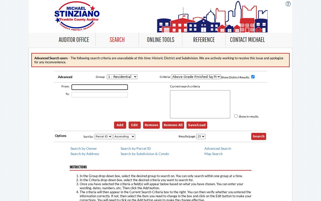
Use a narrow address or parcel query first. The Auditor itself displays a data-current date and directs users to the primary source for verification.
Note: The Auditor Public Information desk can answer a defined parcel or map question by phone, email, or counter request when the online result needs clarification.
Map Clinton Township Street Parcels
A mapped result turns a street search into a parcel search. The Auditor’s Parcel Viewer provides a visual route to parcel boundaries, labels, and administrative context. Its documented tools include By Shape, By Value, and By Spatial. For a focal parcel, use Identify to open information; select parcels by shape or value; then review the individual results. A spatial buffer can select nearby parcels by distance and can export records, but the export is still a list of parcels and their property fields, not a list of people.
The Auditor parcel-ID search is useful when a parcel number is already known from a property card, tax record, or deed clue.
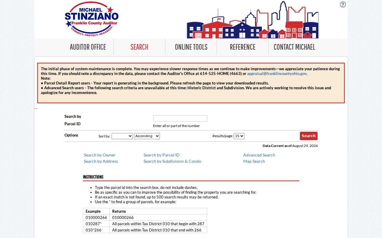
The parcel ID is the bridge to the map, transfer history, tax district, and the legal description needed for Recorder work.
- Parcel
- A county-defined piece of real property with an identifying number used in appraisal, tax, and map records.
- Situs address
- The physical address assigned to the parcel. It is different from the address where an owner receives tax mail.
- Plat
- A recorded map that shows a subdivision, lot, streets, or other property layout. It can clarify an old legal description.
- Criss-cross directory
- An address-arranged directory that can provide a dated household or subscriber clue, unlike a name-arranged volume.
Clinton Township Address Records
Several public record sets can be reached from the same Clinton Township address, although they do not have the same scope. The street directory starts with the address-keyed Auditor record and then branches according to the question. The Treasurer’s separate property search supports Name, Street Address, and Parcel ID searches for tax matters. The Recorder holds documents, but its own guidance says a street address is not an index value. County planning files may be requested by address, date, or project when a particular permit or zoning question is known.
| Address record | Custodian | What it can establish | Access path |
|---|---|---|---|
| Property card | Franklin County Auditor | Parcel, owner, situs, mailing contact, legal and transfer clues | Owner, address, parcel, advanced, and map searches; Public Information desk is the fallback. |
| Tax account | Franklin County Treasurer | Tax trail linked to a name, street, or parcel | Treasurer property search or the Treasurer counter. |
| Recorded instrument | Franklin County Recorder | Parties, document type, date, legal clue, and document placement | Cloud or legacy search, mail, counter, and certified-copy request. |
| Parcel map | Auditor GIS | Parcel navigation, boundaries, and nearby-property selection | Parcel Viewer map and export tools. |
| Permit or zoning file | County Development & Planning | Address- and project-specific public file | Permit Center or a defined request by address, date, and project. |
The legal description and parcel are the reliable joins between these sets. A street name is often only the starting clue. For historic household listings rather than current address records, the Clinton Township city directory route identifies the library collections and their limits.
Clinton Township Street Deed Bridge
After the parcel is known, move to the Franklin County Recorder public-records page, which links both Cloud Search and the legacy system. Cloud Search is the current public route and does not require an account for ordinary searching. The legacy route also permits guest use and is especially important for the historical deed-index material. Search the legal description, parcel clue, present owner, seller, or instrument reference rather than entering the street address alone.
Recorder records named on the public page include deeds, mortgages, releases, liens, assignments, plats, leases, and partnerships. For a deed chain, note the grantor, the person transferring an interest, and the grantee, the person receiving it. Link the party result back to the same legal description. A party name alone can point to a different property. The office cannot perform a title search, but staff may help a visitor use the website.
Note: Unofficial Recorder copies may be printed free from the public search, while certified copies use the Recorder’s posted per-page and certification fees.
Historic Clinton Township Street Names
Old street research needs more than a modern address match. Clinton Township was created in 1811, and later Columbus annexations left modern township territory in separated areas. Historical material may therefore use Columbus, an older township reference, or a road name that does not appear on a current address search. The township history identifies Cleveland Avenue as Harbor Road in an early account. Search both names when an older deed, map, newspaper, or directory trail stops unexpectedly.
The Franklin County Engineer map resources provide the local fallback for road records, historical maps, annexation plats and ordinances, plats, surveys, and other address-continuity questions. The Tax Map Office maintains the county’s addressing and mapping context for unincorporated areas. It is a better source for an old-road or annexation question than a broad web search.
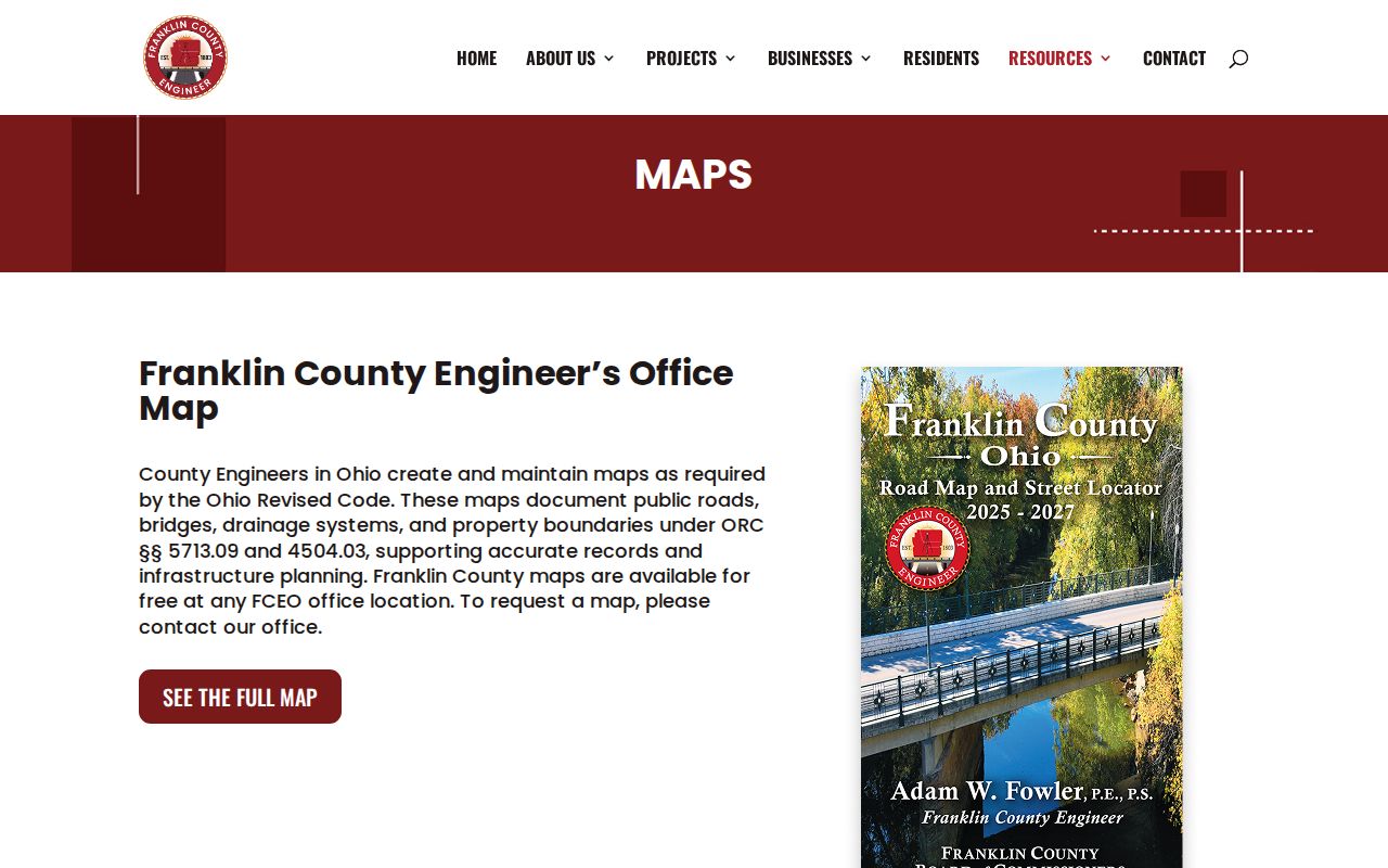
Engineer map material can explain why a legal description, road name, township boundary, and present postal address do not line up cleanly.
Clinton Township Street Permit Trail
Permit and zoning records are an address-specific supplement, not a resident roster. Franklin County Development & Planning administers zoning and land-use for Clinton Township. The township directs zoning complaints to county Code Enforcement, and the county is the stated residential-permit route while the Township handles commercial permits. No verified public address-results index was found for the county permit material. For a known property, request existing final records with the address, date range, and project detail rather than expecting a name search.
The county zoning information identifies the official zoning pathway for Township addresses.
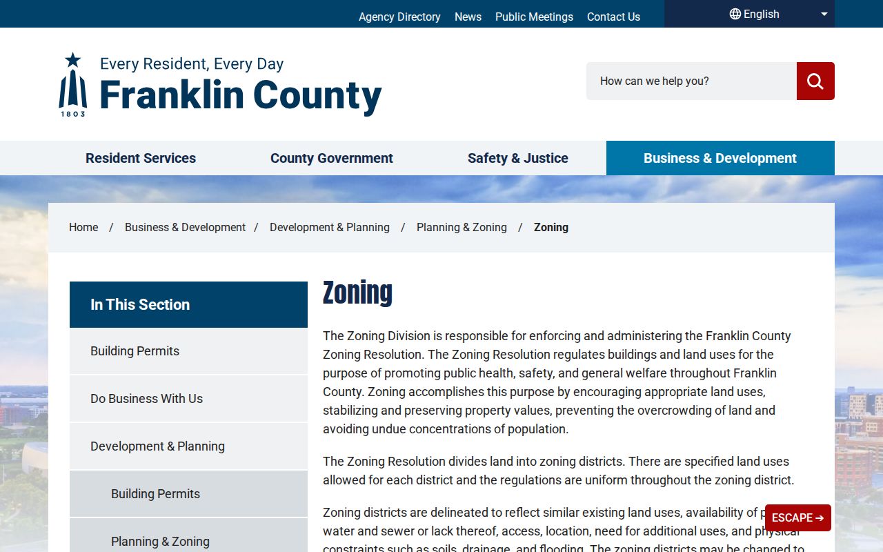
Use the zoning channel for a specific land-use or compliance question, then preserve the custodian’s response with its date and address scope.
The Franklin County building-permits page is the published entry point when a residential construction record is relevant.
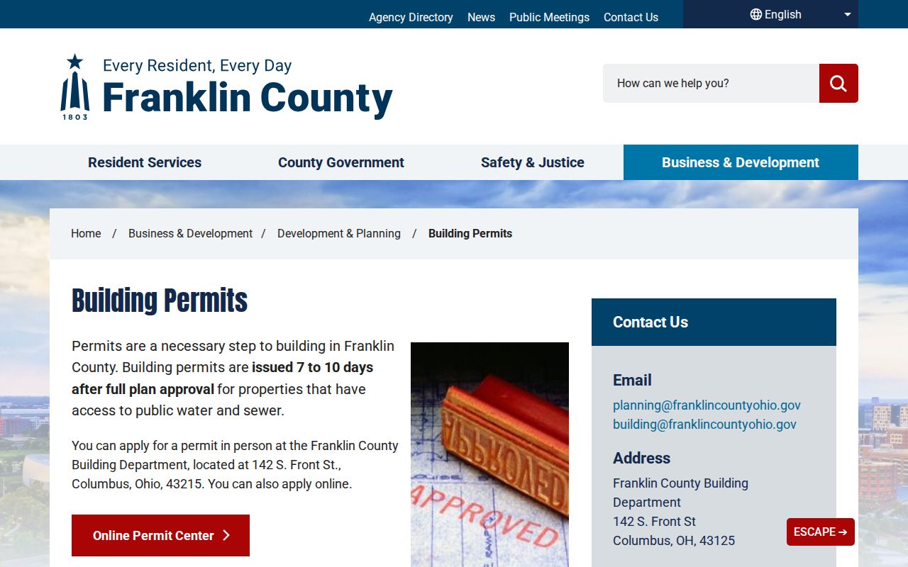
A permit can date a project or identify a submitted project party. It does not establish who lived at the address.
Clinton Township Street Records Geography
Clinton Township’s fragmented geography is an important records fact. Postal Columbus, ZIP code, municipal service address, township tax district, and parcel legal description can point in different directions. The Township’s east and west areas developed differently, and the historic township was much larger before mid-century annexations. A street directory result should therefore be checked against the actual parcel’s tax and township fields, not inferred from a Columbus postal label or a ZIP boundary.
This boundary history is also useful when tracing a long street. A current street segment can cross areas with different custody, service, or historical labeling. The parcel card, County Engineer records, and dated documents help distinguish a Clinton Township address from a nearby address that shares the same postal city.
Note: A postal city or mailing ZIP supports delivery, but the parcel’s tax district is the stronger local clue for Township jurisdiction.
Clinton Township Street Address History
For a former household, address-arranged sources can add a dated resident clue after the parcel and deed work. Columbus Metropolitan Library holds a physical city-directory run beginning in 1841, and its address sections begin in 1911. Its digitized collection includes selected city directories, early Franklin County telephone books, and address-oriented guides such as Dreher’s Simplex Guide. These volumes are valuable where they cover the address, but they are not complete lists of every rural township resident or proof of ownership.
When an online volume lacks the needed year, use the CML Local History & Genealogy shelf, phone books, Ohio History Connection tax duplicates, or the County Engineer historical-map route. This chain gives a better result than forcing an old house number into a current parcel search.
Clinton Township Street Address Limits
A street directory cannot reveal every person connected to an address. Auditor ownership records identify a property relationship, not all residents. A Recorder document identifies parties to that instrument, not every household member. Parcel Viewer buffers identify nearby parcels, not nearby households. Utility, delivery, motor-vehicle, confidential-investigation, and protected voter information are not appropriate street-search targets. A missing address can also reflect a protected record, a changed road name, a historic coverage limit, or a search in the wrong custodian’s system.
Lawful use. Clinton Township address records support personal property, family-history, estate, and civic research. Ohio law prohibits stalking and telecommunications harassment; do not use a record to track, harass, intimidate, or harm anyone.
When a defined public record is not online, direct a narrow request to the named Township, county, or state custodian under the Ohio Public Records Act, R.C. 149.43. Ask for the record type, address or parcel, and time range. The office may offer counter, phone, email, mail, map-room, or library alternatives, and exemptions still apply.